With summer finally arriving in the Northwest, we looked around for somewhere to go for a week of vacation. However, as everyone knows, travel during the summer of 2022 has been a challenge. Everyone seems ready to travel after two years of pandemic mode. The result has been high airline prices amid flight cancellations. We weren’t interested in that. So we considered a road trip, but with the price of gasoline, that didn’t seem very practical so we looked around closer to home and decided to take a tour of Whidbey Island.
Whidbey Island is the largest island in Washington state at about 55 miles long and the fourth largest island in the United States. There are five listed state parks on the island as well as three unlisted parks. Deception Pass on the north end of the island is the most popular state park in the state. I wrote about that park over a year ago. On this trip I’ll check out the other four major parks. My son suggested there was nothing to do on Whidbey Island. We set out to prove him wrong.
There are two main ways to get to Whidbey Island from the Seattle area. One is by ferry from Mukilteo north of Seattle. It’s about a 20 minute crossing. The other way is to go north on I-5 to Mt. Vernon, west towards Anacortes, and then south through Deception Pass. That obviously takes more time, but when gas is cheap, it’s a good option. We decided to take the ferry and then spend time in the south end of the island for the day.
We had not been through Mukilteo’s new ferry terminal which opened in December of 2020. The facility was very nice, and we moved through very efficiently. It was a beautiful day to cross Puget Sound on a ferry.


After landing in Clinton, we headed to the southwest corner of the island, Possession Point State Park. Possession Point is not on the State Parks’ website probably because it is quite small with few facilities. The last leg of the road to the park is rather narrow, and the parking lot probably holds no more than eight cars. There is a trail down to the beach area which is not long, but is somewhat steep and narrow. There is also a road that winds down as well which some people were choosing to use.


The road was there because a house sits right next to the park which seemed to be a little odd. A grassy area with a few picnic tables greet visitors, and then a narrow opening leads to the beach. The beach is the main attraction here. Visitors can walk a short distance to the north, but then there is a notice that the park ends as houses line the beach. Walking south the beach continues around the cliffs. Much of the beach is rocks so it is a bit challenging to walk on, but it is a nice peaceful location. There were two other families there. One had triplet boys who were really enjoying playing in the sand and rocks.


Our next stop was on the other side of Whidbey Island. The town of Langley is the main town in the southern part of the island. It is on a cliff above the water. It was a busy town on a summer Tuesday, but Tuesday was not the day to be there. Many of the stores were closed as well as some of the restaurants. I was a little surprised. I can see closing for a day during the slow seasons, but it seems like being open every day in the summer is important. There were some interesting looking stores, but we couldn’t go inside. Bummer.
From the town I could see part of a ferry docked nearby which I thought was strange. It turns out to be the Evergreen State, which was sold to a private party. The ferry was in service from 1954 to 2015. The new owner wants to make it an all electric vessel using solar panels. You can read more about it in this article.


Since most shops in Langley were closed, we walked down along the beach. There are a couple of places where visitors can get down to the beach. Just above the beach is a grassy area with a path and a few tables that overlooked the beach. We walked along it for a ways, and then when the path ran out, we went on down and walked on the beach. No one else was walking this part of the beach so again it was a peaceful place to be. Our main companions were the seagulls in the area.


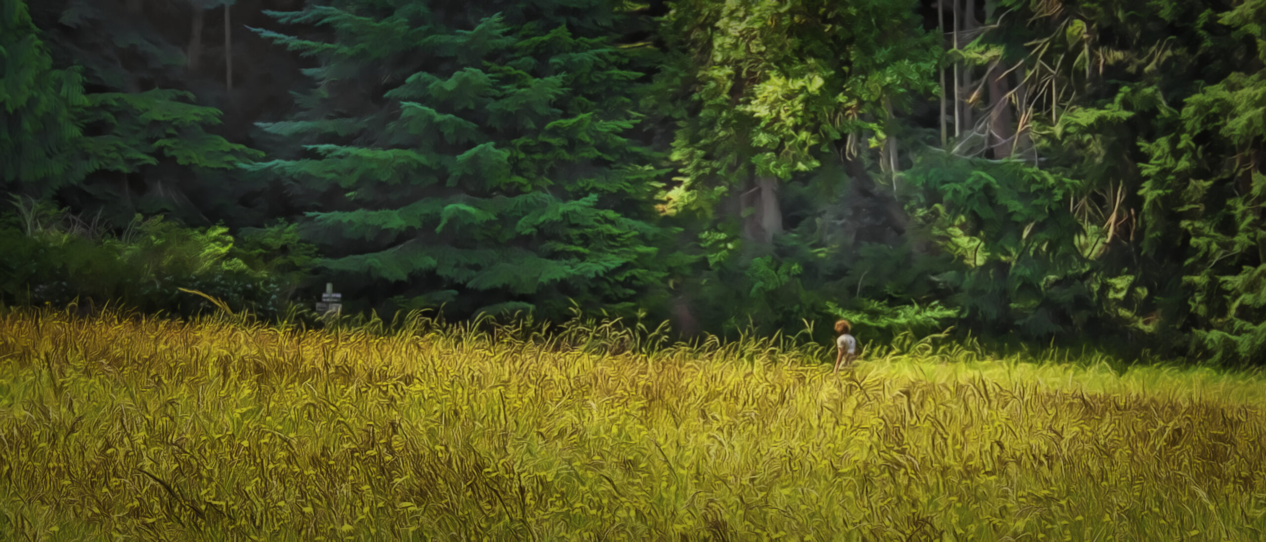
We walked back to town and considered getting something to eat, but didn’t really find what we wanted so we moved on to our next stop, Saratoga Woods.
Saratoga Woods is a reserve near the Saratoga Passage coast line. It is a bit of an out-of-the-way place so there were not many people there. We did see a group of people learning about mushrooms, but we only saw one other hiker. The object of the hike was to get to a large rock that was supposed to have been brought into the area by a glacier many years ago. We never accomplished that.
An area map posted near the parking lot seemed to indicate getting to the rock was pretty direct, but when we got out in the woods, we became confused. I thought the trail looked pretty straight on the map, but it wasn’t straight, and we ended up going around in a circle and then another circle that led us back to the parking lot. The map showed an air strip which was near the rock, but we never found that. There were trail markers, but I didn’t remember the names of the trails we needed to follow. I should have taken a picture of the map. That might have helped.


Despite not reaching our goal, the hike was very nice. Particularly as we entered the woods, the trees reminded me somewhat of being in the Redwoods as they were quite tall although not as big around. It was a nice shady hike on a warm afternoon, but the trail was a bit challenging. There were some rough spots with roots in the trail so I would call it moderately difficult.

Our final visit for the day was at Double Bluff Beach on the south-west side of Whidbey Island on Useless Bay. Dog lovers come to this beach as their furry friends can be off leash here. The park extends along the beach west from the parking lot as there are private homes on the east side who alone have access to that beach. That is something that always bothers me in Washington. When I was a kid in Oregon, the state passed a law that all beaches were public property. No private beaches exist. I wish Washington followed that plan.
Near the parking lot a lot of driftwood has piled up, and people have made use of the driftwood to make little forts. This activity seems particularly popular with the kids. There were quite a few structures along the beach, some more creative and sturdy than others. Some were actually occupied with someone inside reading or resting. (I didn’t photograph those)


We seemed to have arrived at low tide so the beach was really wide and had a number of different terrains. Some parts were very rocky and hard to walk on. Others were covered in smelly seaweed, and of course some were filled with sandy beaches. The views from here were quite nice. In one direction we saw the Olympic Mountains. In the other direction we saw a peek of what I believe was Mt. Rainier.
We walked down to the bluffs that the area was named for. These were quite interesting. Plants were growing that helped with the erosion in some places, but in other parts one could see where the cliff was breaking off and falling away.


After walking back to the parking lot we headed out for our hotel in Oak Harbor. After checking in and finding a Mexican restaurant to restore our energy, we settled in for the night. The day had been mostly sunny, but clouds rolled in as we were driving north, and we did encounter some sprinkles. Hopefully the weather will hold for tomorrow as we do more exploring on this island.
When was the last time you visited Whidbey Island? I look forward to seeing your comments regarding this post. Also be sure to subscribe if you haven’t already. It’s easy to do. Thanks for being a part of the Battered Suitcase family.
Discover more from Battered Suitcase
Subscribe to get the latest posts sent to your email.
The driftwood sculptures are wonderful.
Yes, it’s fun to see the creations of nature.