I realized recently that I have been to almost all of the national parks in California. Only two remained, Death Valley and Sequoia & Kings Canyon. I had tried for a few year to make it to Death Valley, but no one would go with me. Finally I convinced my wife to go, and so we began to plan our adventure.
Death Valley has hit 130 degrees twice in the last few years. This of course was during the summer so it was quite clear that summer was not the time to visit this desert location. Winter seemed ideal so we booked for early February, and it turned out to be a perfect time. We had beautiful, clear blue skies and moderate daytime temperatures. It was a break from the gray skies of Seattle.
After arriving in Las Vegas and getting our rental car, we headed for the town of Pahrump, Nevada where we were staying. As is often the case with national parks, Death Valley is not close to any major city. When I was planning our trip, I looked at the towns around and the few nearby accommodations, and Pahrump seemed to offer the best situation. Nevertheless it is about an hour from the park so it was a drive each day. There is camping available in the park and a few resorts, but those were a little pricey for our pocketbook.
Our first day at Death Valley began at the Furnace Creek Visitor Center where we got a parking pass and a map to chart our course for the next couple of days. On our first day we would drive down to Badwater Basin and then work our way back north toward the visitor center.


Badwater Basin is the lowest place in Death Valley. It is 282 feet below sea level. As a result, all the water from the mountain ranges that border the valley runs toward Badwater Basin. Since there is not a lot of water on a yearly basis, it eventually dries out and leaves salt residue behind. So the basin is really about the salt that forms into crystals on the land’s surface. From the parking lot there is a trail that leads out to the main area of salt crystals. The trail is quite wide and smooth at the beginning but becomes more narrow as one reaches the salt flats.
What is interesting to me about the salt flats is the way the salt forms shapes. The basic salt that covers everything is a slightly off white color. However, there are lines of almost pure white salt that creates geometrical looking shapes across the flats. It is really quite fascinating to see and a very easy but long walk out to the flats to see it.


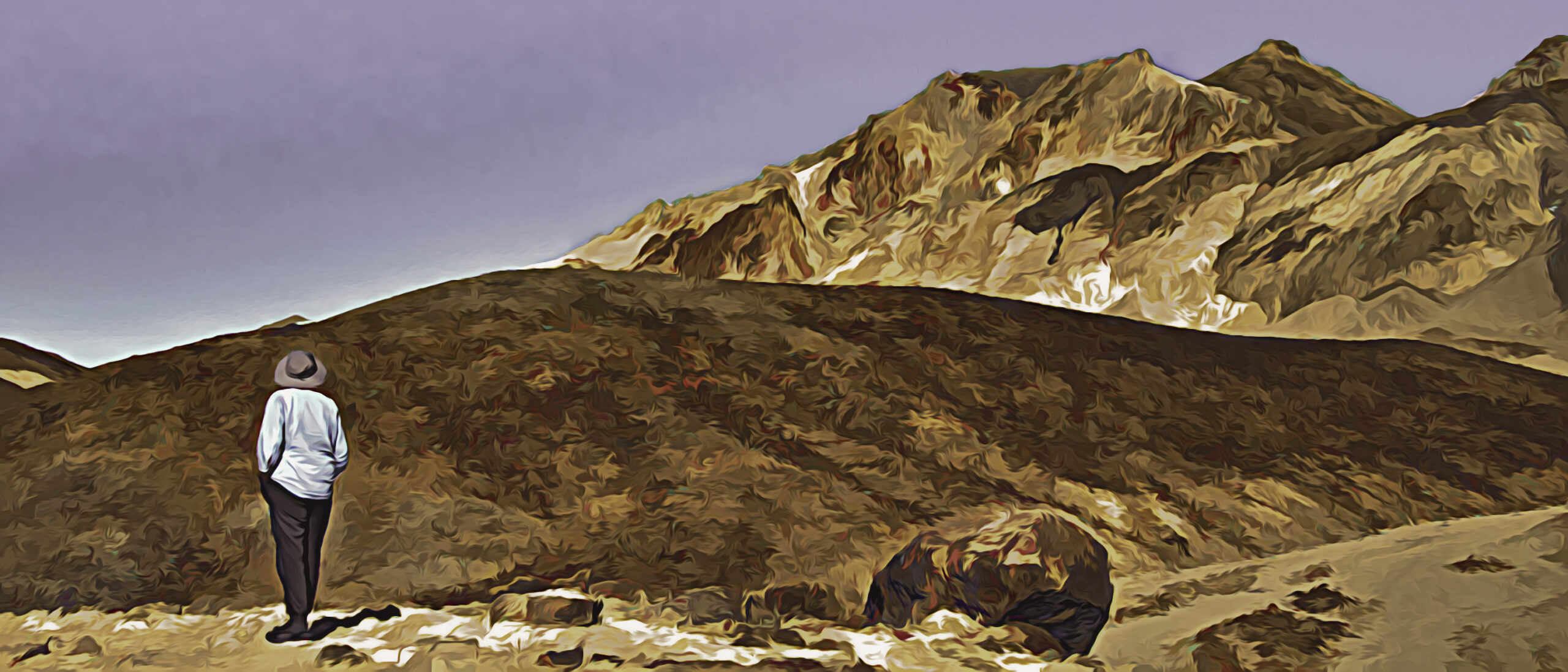
After our hike to the flats, we began driving back north. Our next stop was a natural bridge located in an area of canyons. To see the bridge one has to hike up a short distance. While not long, it is a moderately steep hike so it can be a challenge for some. Unfortunately, the bridge itself is not all that exciting. It does create a bridge between two canyon walls, but it doesn’t have a particularly interesting shape or color. Hikers can go under the bridge and continue on up into the canyons. We did hike up a short distance and enjoyed the views looking back down onto the salt flats although the views from the parking lot were wider.


We next made a brief stop at a site called the Devil’s Golf Course. Here the earth was very uneven with salt over it. It is the unevenness of the ground that gives the area its name. There is no place to walk out into this area so one views it only from the parking area. One visitor did have the right idea, however. He brought his golf club and had his wife take a photo of him standing there with his club back ready to swing.


The Artists Drive was our next sight to see. This is a nine mile drive that takes you through some of the hills nearby. There are two specific areas visitors can stop and park as well as some pullout places along the way where one can grab a photo. The drive is one way starting at the south end so it worked out well as we were going north.


The main visitor location is called the Artist’s Palette. The name comes from the many colors in the rocks of the mountains. It reminded me somewhat of the Polychromatic Mountains in Denali, Alaska as well as the Landmannalaugar Mountains Andrea and I hiked in Iceland. The difference is that the colors here are more muted and pale and not as intense as those locations. However, there are some unique colors here. I was particular fascinated with the almost baby blue color in some of the locations. Of course the colors all come from various minerals in the dirt and rocks so those dictate the colors that are seen.


After we had checked out Artists Palette and finished the drive, I began to lose energy. The sun was pretty warm on us, and it had been an early morning for me so we went back to the visitor center area, found a shady spot, and I took a nap.
After waking up we headed for our final location of the day, Dante’s View. We had passed the turn-off sign when we drove into the park on the east side of the Amargosa Range. However, most of our day was spent on the west side of the mountains in the valley. We would approach Dante’s View from the east side but our main view was where we had spent our day.
Dante’s Viewpoint is high above the floor of Death Valley. It is a 13 mile drive off the main park road. We had encountered some gravel roads in the park so I was concerned it would be gravel, but it was paved all the way to the top. It should be noted that the final mile or so is quite steep and feels narrow.
From Dante’s Viewpoint one can look down over Death Valley. It is an amazing view. As one looks down, it seems there are lakes and streams, but for the most part one is looking at salt. It all has a rather ethereal look to it which I found quite unique.
Because it was getting late, we stayed to watch the sun set behind the Panamint Range on the other side of the valley. Unfortunately it did not give us spectacular colors, but it did give a blue tone to the valley below, and some colors did intensify after the sun set. Sometimes the color of the hills behind us was more interesting as the dying light lit up the peaks.


Death Valley is known as a dark sky location. That means that one can see more stars here because there is no light interference from metropolitan areas. Since we were on top of the mountain, I wanted to stay and see the stars from here. Actually I was hoping to take a spectacular picture of the stars with the mountains below. My wife, however, was uncomfortable with the idea of driving back down the 13 miles in complete darkness so we drove down after only a few stars could be seen in the sky.

I was still hoping to find a place I could set up my tripod for an amazing star photograph. I remembered that there was a small parking area by the entrance sign as we entered the park so I stopped there. Looking up at the stars was amazing. I could now see the area of the Milky Way clearly, and the stars were very bright. However, my attempt to photograph them fell short of my expectations. I was unable to get a large area of stars in my viewfinder. Those that I did catch I had my camera pointing up with no nearby landmarks. I took two pictures and gave up. I was a little disappointed in my photos, but after I edited them, decided that they weren’t as bad as I thought. Here’s the better one with Orion clearly visible.
We made it back to the hotel tired and ready for a quiet evening. The next day would bring us more adventures. I hope you will join me again next week as I share about them. In the meantime feel free to share this post with anyone who might be interested or on your social media by clicking the appropriate icon below.
Discover more from Battered Suitcase
Subscribe to get the latest posts sent to your email.
👍🏽. Interested to hear about Day 2. Thanks for sharing. I love Death Valley.
This was our first time so still lots to learn about it. Thanks for your comment.
Loved seeing your pictures and reading about Death Valley. When we lived in California, we went every year! Sometimes we camped, sometimes we stayed close by and one time we stayed in the park. Enjoy Joshua Tree!
Carol, thanks for your comment. The terrain of Death Valley is certainly unique. It has its own kind of beauty.