Guadalupe Mountains National Park was never on my bucket list. In fact it wasn’t even on my radar. When I began to do planning for our trip to White Sands National Park, I saw a dot on the map indicating a National Park. I was surprised as I didn’t know of one there. That’s how I discovered Guadalupe Mountains National Park. It fit perfectly into our travel itinerary so I added it to our list of things to do.
The Guadalupe Mountains are east of El Paso off of Highway 62/180. It’s about a two hour drive to get to the park from El Paso. However, the mountains become visible before then. In fact there were mountains to the north on most of our drive. The terrain also began to change. We began to see bits of green along the way. One plant in particular became quite prominent as we drove along. At first it looked like miniature Joshua trees. However, after some research, I think they are soaptree yucca. I found them quite interesting.
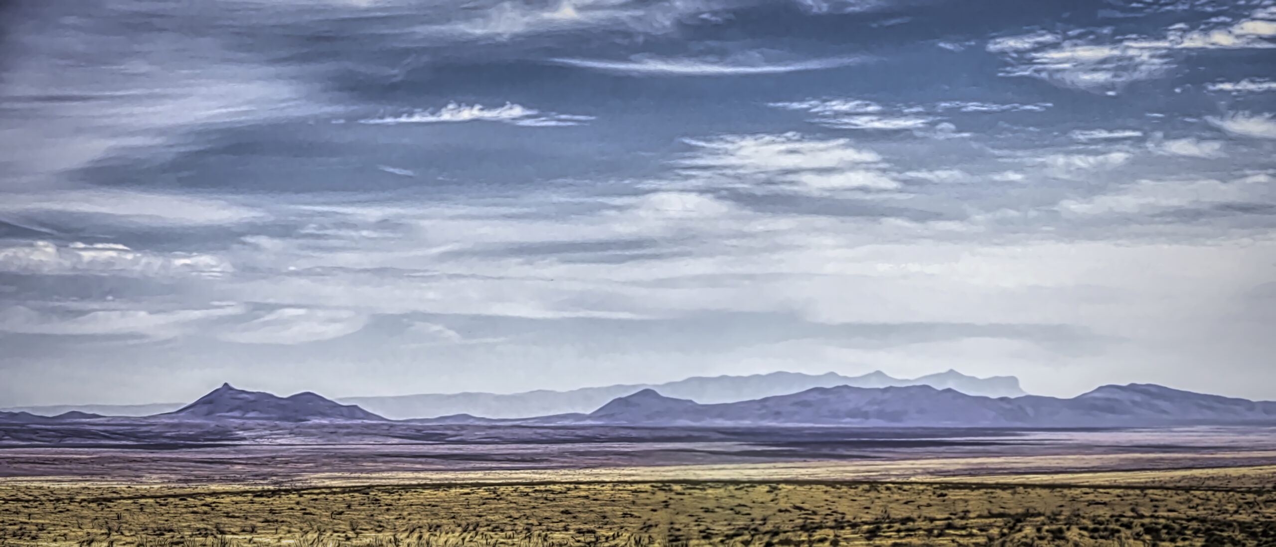
There are no rest stops along the highway, but there are a few picnic stops. These don’t have any bathrooms, but they do give one the opportunity to get out and take some photos of the terrain and mountains.


One of the areas of the park is called the Salt Basin Dunes. That is the first feature that travelers come to as they approach the park. I debated whether to drive over to it. However, since we were going to White Sands later in the week, I felt it would have some similarities so we didn’t take time to stop. In the end, in terms of time, it was probably a good decision. However, if we had had more time, I might have checked that area out.
As we got close to the Guadalupe Mountains, one point became quite prominent, El Capitan. There are a few places along the highway where one can stop for a photo. The unusual aspect is that the highway curves around this point so travelers can see the point from different sides and angles.

After rounding the point of El Capitan, we finally reached Pine Springs Visitor Center, the main visitor center for the park. There are hiking opportunities here. The center itself is fairly small, but they have a gift shop, and visitors can pay their park fee here. There are also some photo opportunities here of the mountains. One can still see a bit of El Capitan in the distance.


Traveling farther up the highway, we headed to McKittrick Canyon which is a day use only area. The small information center there was not manned during our visit. An almost four mile hike begins here, and that was what we wanted to do. The parking lot is about a five minute drive from the main highway.
After filling our water bottles, we were ready for our hike. We had to walk through the visitor center to get to the trail on the other side. The trail begins as a narrow trail with some challenging steps down in places. Knowing that this was almost five miles, I was beginning to thing this would be more challenging than I expected. However, after we got down to a dry river bed and crossed to the other side, we soon encountered another trail which we joined. This trail was much wider. In most places three people could walk abreast. It was also smoother. It was covered in gravel and was a pretty easy walk, although walking on gravel can be tiring.
The early part of the trail was very much in a desert landscape. Vegetation was low. The occasional tree was short and stood out in the landscape. Quite a few of them appeared dead. If you have followed my blog, you know I like pictures of trees so there were lots of possibilities on this hike.
Cacti were somewhat common along the trail. However the spiky sotol was probably the most common plant. We also saw a few of the soaptree yucca along the trail so it gave us a chance to see it up close.


We were headed into a canyon and the steep mountains and cliffs nearby reminded us of that. However, they had a unique beauty to them. This was not a green landscape, but it was interesting with the rock strata on the cliffs and mountains nearby.
We crossed a number of dry river beds, and they all were filled with white gravel. There were no bridges so we walked through the gravel. Park personnel had set up stone lines for hikers to follow to keep us on the trail as the crossings did not always go straight across the river bed.
As we continued on, one of the things I began to notice was that the trees were becoming more frequent and also taller. Instead of the scrubby trees we had been seeing, some trees were actually capable of forming a canopy over the trail itself. There were also some interesting trees here. One common tree had a very patterned bark. Another tree’s bark would peel off revealing reddish trunks and branches.
We were climbing, but the climb was very gentle so it really didn’t seem like that big a deal. We were also seeing different cliffs and sides of the mountains. That’s one of the things I liked about his hike was that it offered different scenic views and different mountains to see along the trail.
As we walked deeper into the canyon, it began to narrow some, but we could also see new mountain peaks off in the distance ahead of us. While we crossed dry river beds five or six times, we also crossed a stream that actually had water running in it. Again there was no bridge so we had to cross over on rocks in the stream. The park discourages hikers from walking in the water as it disturbs the life in the stream.


The goal of our hike was the Pratt Cabin. Wallace Pratt built the cabin with limestone blocks in the early 1930s and used it as a summer home for his family as well as frequent geological visitors. Pratt had cattle on a ranch in the area. In 1963 Pratt donated over 5,000 acres of land to the National Park Service. This gift added to the territory of what would become Guadalupe National Park in 1972.
The cabin and a nearby garage are no longer in use, but the back porch has been provided with some comfortable chairs so one can sit back and enjoy the views of the mountains. The views here are quite nice.


The trail does continue on to a grotto, but in the interest of time we did not keep going. A sign at the visitor center indicated that the gate from the highway to the road out to the visitor center closed at 4:30. We did not want to be late getting back, so we took no chances and left ourselves plenty of time. One of the funny things that happened was that people’s watches kept flipping back and forth between mountain and central time. This became confusing. The information clearly stated the gate would close at 4:30 mountain time. There was even a digital clock there indicating the correct time. However, I heard one person who was leaving say, “They have the wrong time.” My wife’s watch changed three or four times during our hike.
Our return trip was made much faster as I promised I would not stop and take so many pictures, but I still took a few. After all, even though it was the same trail, the view going back is different. One sees things in a different way.


We left the parking lot at 4:00. We were the last ones to leave. As we were finishing the trail probably ten people we didn’t even know were on the trail came along. The parking lot emptied quite rapidly all at the same time.
We ended our day driving to the town of Carlsbad in New Mexico. We had a nice dinner, and then it was time to relax. It had been a good day. Next week we go underground. See you then.
Discover more from Battered Suitcase
Subscribe to get the latest posts sent to your email.
Great photography, Thanks
Thanks, Les, it’s a very different environment than what we are used to in Washington.