When we drove through Tillamook on previous trips, I never saw any beaches. The town is actually some distance from the ocean. I always wondered if there were any beaches in the area worth visiting. Monday was the day we were going to figure this out. We planned to drive the designated Three Capes Byway and discover what beaches existed along the way.
Highway 101 goes along much of the Oregon coastline with beautiful ocean views. However, as it nears Tillamook in both directions, it moves inland. The designers of the highway had various reasons for this decision. Despite this move inland, visitors can still go out to the coastline. Their best bet is to follow the Three Capes Byway.
From Garibaldi we drove down to Tillamook and then headed west toward the ocean on Hwy 131. This took us to Oceanside where we then turned off on the Cape Meares loop continuing north to the Cape Meares Lighthouse and state park. This is the first of the three capes.
The viewpoint has a nice park area with a number of things to see and do. The first thing we did was check out the Octopus Tree. Experts think the tree is about 250 years old. It’s a Sitka spruce with an unusual formation of the branches coming out of the base with no central trunk. Near the tree is a nice lookout with views south over the water.


We walked along the edge of the park on the south side checking out the view as we walked along. At the end of the trail is a lighthouse. It’s not a very tall lighthouse but it sits so high up on the cliff that it doesn’t need to be tall. One can go into the lighthouse and receive a brief tour with narration from a guide. A small gift shop inside offers some gifts to buy as well.


We walked back to the parking lot on the north side of the park and could look down on the steep cliffs nearby and the birds that nested there. This is part of the national wildlife refuge in the area. The park provides quite a bit of information on the birds that inhabit the cliffs. Back in the parking lot we checked out a very artistic sign for the park.


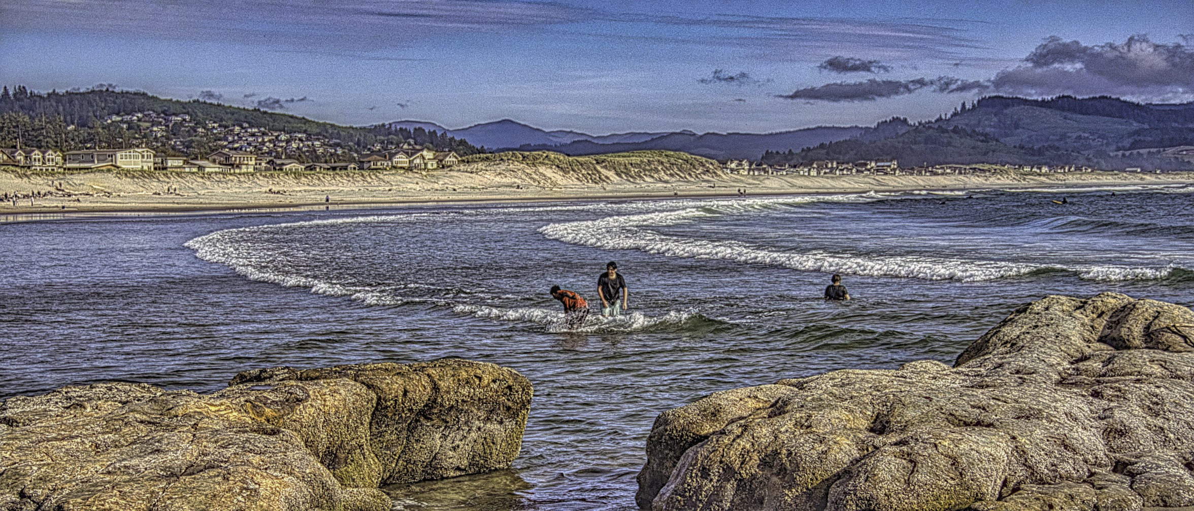
We drove back south to Oceanside and Oceanside State Park. There is only a small parking lot for the park, and it was completely full. We drove back out to the main road and joined some others in parking along the side the road. Some people climbed down the cliffs from there, but we walked back into town and the beach.
One of the fascinating things about the town of Oceanside is that people have built houses on the side of the mountain. They are all very crowded together. I don’t even know how people drive up to these homes.


Next to the entrance to the beach a lot of people were enjoying the beach, but once we walked farther away, the crowds thinned. One thing we noticed was the number of dogs on the beach. They had to be on a leash, but it seemed every other person had a dog. It was crazy.
Off the coast we could see three large sea stacks. Each has a hole in its center so they are called the Three Arch Rocks. In 1907 President Theodore Roosevelt declared them a national wildlife refuge, the first one west of the Mississippi River. Because of its status visitors may not climb onto the rocks


After walking on the beach for a bit, we walked back to our car and continued our journey south. We stopped at the next town of Netarts to get something to drink, but there wasn’t much public access to the beach there. We did stop at one place for a few minutes to grab some photos, but that was about it.


As we continued south on Netarts Bay Road , we stuck pretty close to the bay. We stopped at a place where we could see people out on the sand bars of the bay. It looked like they were searching for something, but I’m not sure what it was. It may be they were looking for shell fish. I’m not sure what Oregon’s regulations are in regards to that. If it wasn’t shell fish, I don’t know what they wanted.


Continuing on we came to Cape Lookout State Park. This is the second of the three capes. This was the only park where we had to pay a day use fee. It was only $5 so not bad. The park was busy, however. I was surprised at the number of families and groups that were in the day use area. I did not see any empty picnic spots. Out on the beach and even on land volleyball was the game of choice with a number of competitions going on.
From here one can also see the Three Arch Rocks. The hole in the center one is quite clear from this angle.


We wanted to hike a trail that followed along the edge of the water. Unfortunately they closed the trail due to damage that happened over this last winter. We did walk along the beach some, but didn’t go too far as we decided we shouldn’t be in the direct sun so much. Instead we decided to continue our drive south. We did pass a place with trailheads we could have taken, but we chose not to hike them.
We took a short detour a little bit later to go to an area called Sand Lake. The day use parking was very limited here. The lake seems to be in the middle of a large area of sand dunes so there is sand all around it. One can see the ocean on the other side of a large sand dune which separates the lake from the ocean. Apparently this whole area of sand dunes is popular with ATV riders, but we didn’t see any when we visited.


We next stopped at a location named Sitka Sedge State Natural Area. Here we did some hiking, but not together. When we arrived, Silvette said she was too tired to hike so I went ahead not knowing how long I would be gone. I walked around the end of the estuary that was there on a nice trail. Then I walked over to the beach. It was a little bit challenging walking through parts that were dry sand, but I made it to the beach. Then I walked back.


On my walk I was intrigued by the spruce trees I saw. They had such interesting cones. Arriving at the beach I noted they had roped off part of the beach to protect the nesting area of the snowy plover. On the way back I saw a heron in the water and got out my telephoto to get some nice photos. I also got some shots of wildflowers. It had been a good photo walk and one of my favorite stops due to the wide variety of settings.


However, when I got back, Silvette was nowhere to be seen. It seems that after I left she got some energy back and decided to catch me. She never did. In fact she ended up walking farther than I did as she took a different route. Fortunately I didn’t have to wait too long for her to return.
We were now on to our final destination, and the third cape, Cape Kiwanda. The town of Pacific City is near the cape so we decided to eat some dinner before heading over to check out the cape. After being fortified with pizza, we walked over to the beach. What strikes one as you enter the beach is the tall sand dune at the northern end of the beach. This is the Cape Kiwanda State Natural Reserve Area. It’s also hard to miss the large sea stack off the coast called Haystack Rock.


For most people in the northwest, if you say Haystack Rock, they will immediately think of the large sea stack in Cannon Beach farther north on the Oregon coast. That Haystack Rock has been featured in many photos depicting the coast.
This Haystack Rock is actually about a mile offshore and is taller than the one in Cannon Beach. It appears smaller because it is farther offshore while the one in Cannon Beach is right on the shoreline. It turns out there is also another Haystack Rock in Bandon, Oregon. I haven’t checked that one out yet.
We wandered around near the tall sand dune and in some rocky areas. We could see a trail that went up and across the sand dune. Kids were going straight up and down, but this trail seemed more moderate. I asked Silvette if she wanted to walk up. She said no she was too tired from the day. I turned around to take some photos of the beach, but when I turned back, she had already started up the trail. So much for no.


So we walked up, and it was challenging but not too difficult. Once we were at the top we walked around some and then went along a trail on the hillside toward Haystack Rock. We had some nice views from there of the coastline going north. After exploring the area we managed to get safely back down to the beach.


That was the end of our day. We still had to drive back about forty minutes north to our motel, but we had had a very busy and interesting day. I now know that the Tillamook area does have some wonderful beach areas and is a part of the Oregon coast worth checking out. We still didn’t see everything. We could easily spend another day in the area, but we needed to head home.
Have you had a chance to enjoy the beaches along the Three Capes Byway? If so, I would love to have you share your experiences in the comment box below. Thanks to all for your comments and likes and wherever you are, keep traveling.
Discover more from Battered Suitcase
Subscribe to get the latest posts sent to your email.